DRYTREE MENHIR
DRYTREE MENHIR
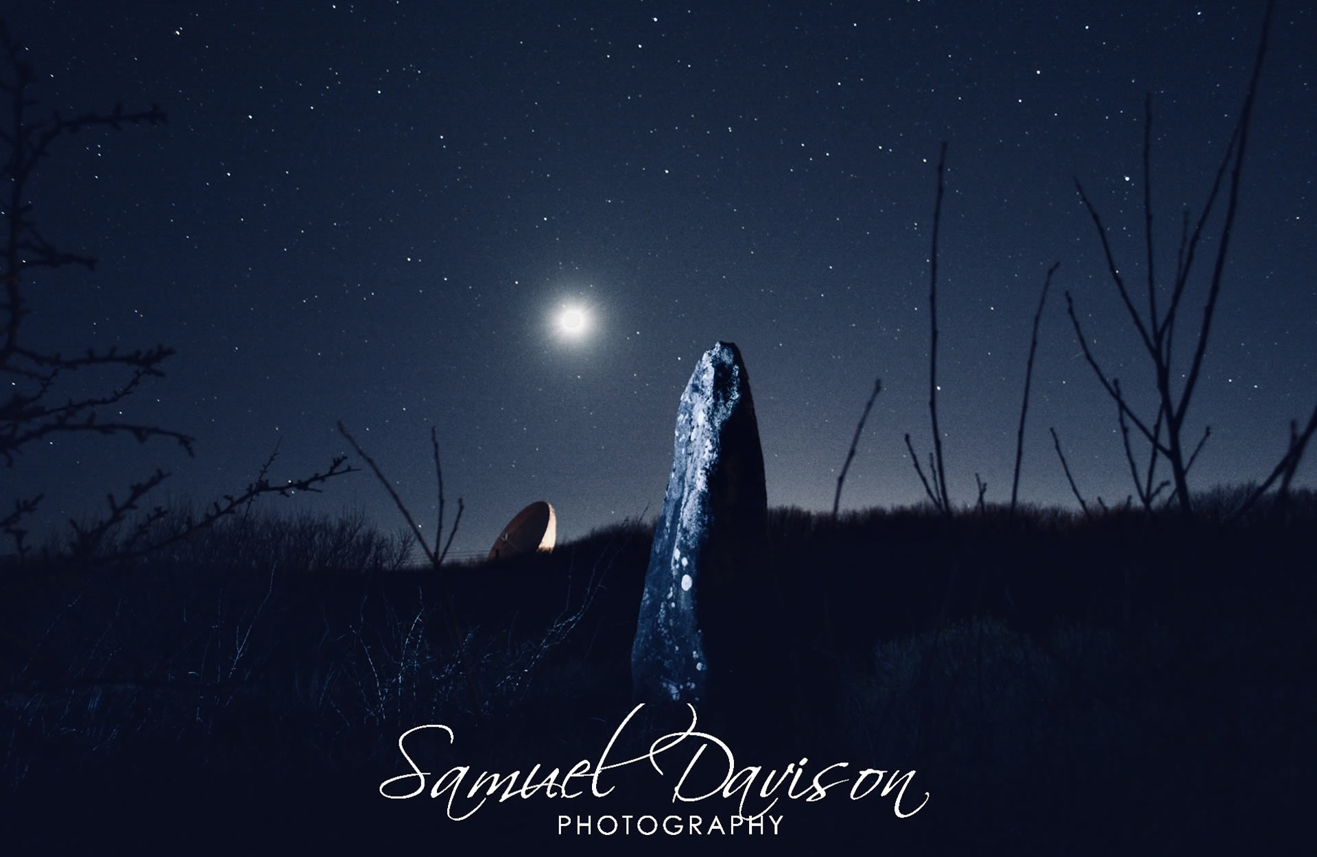
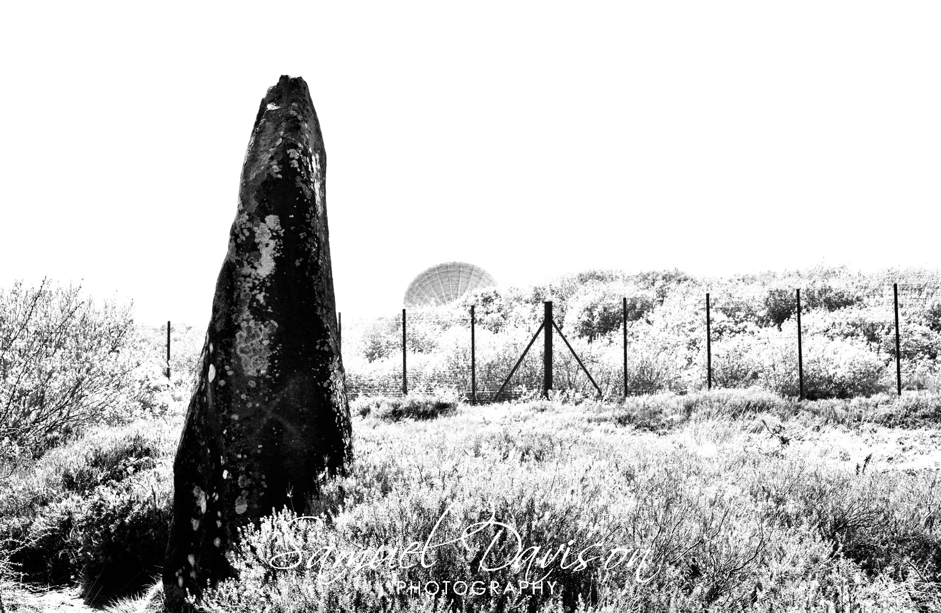
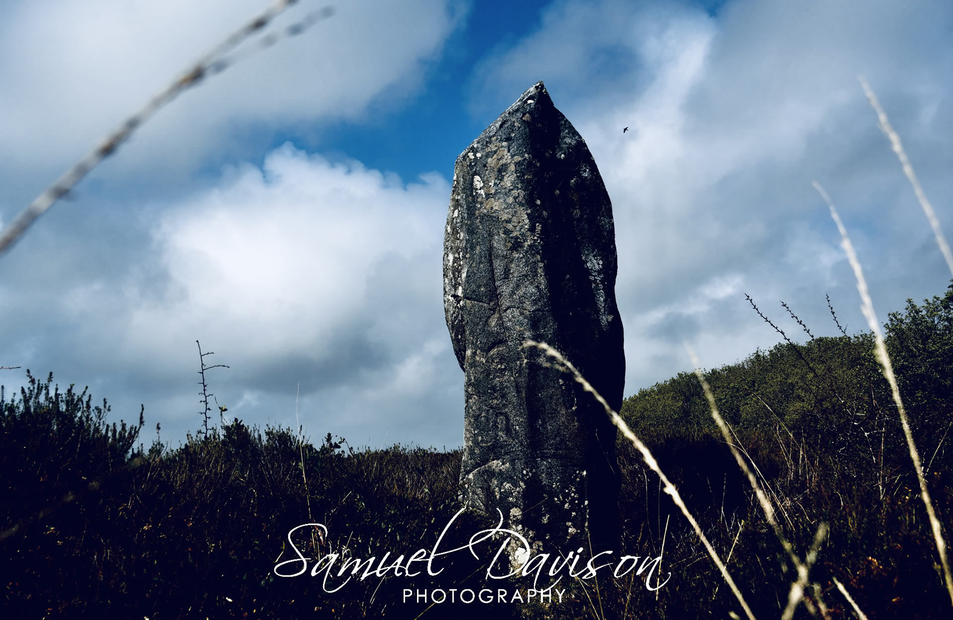
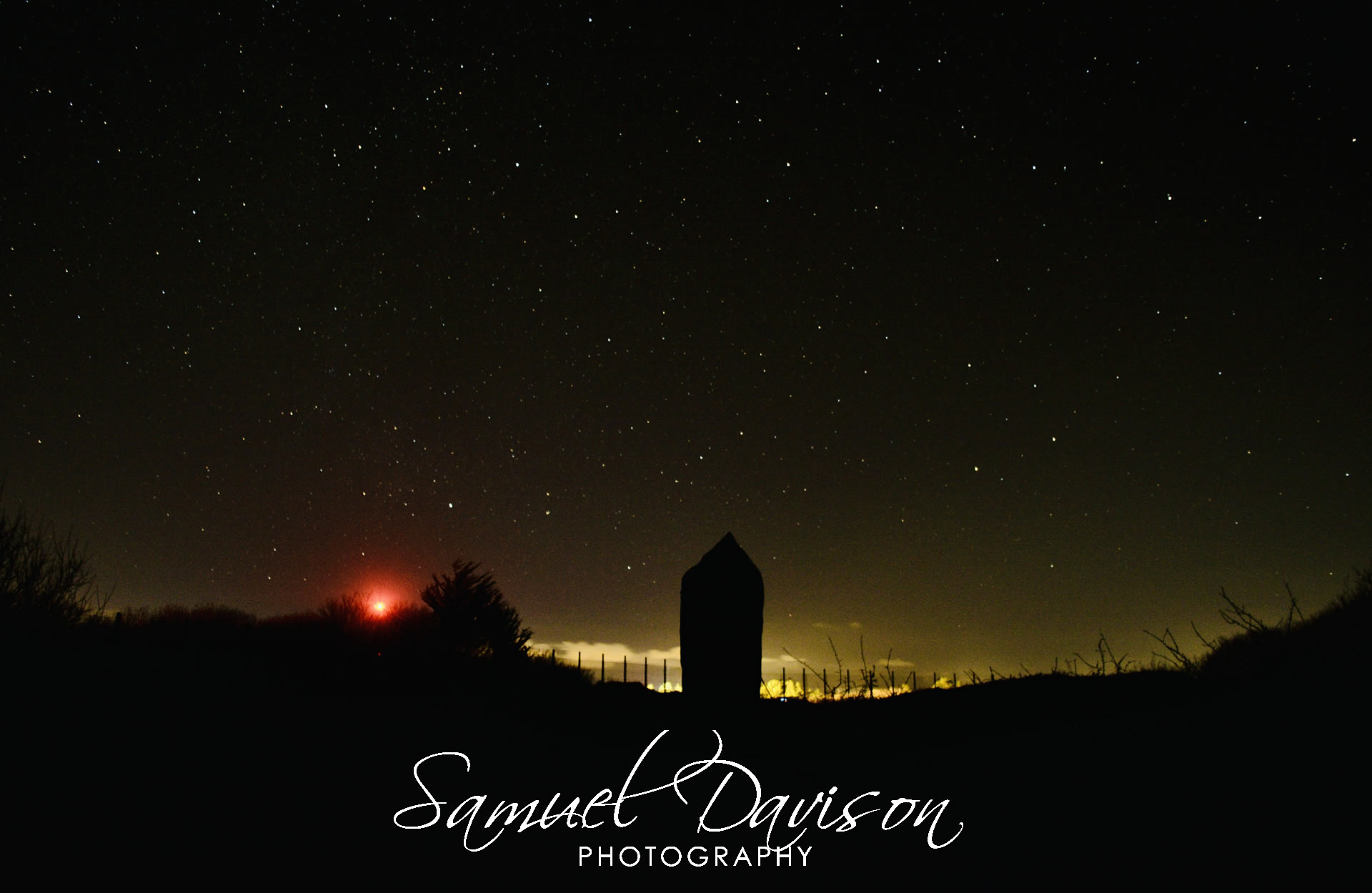
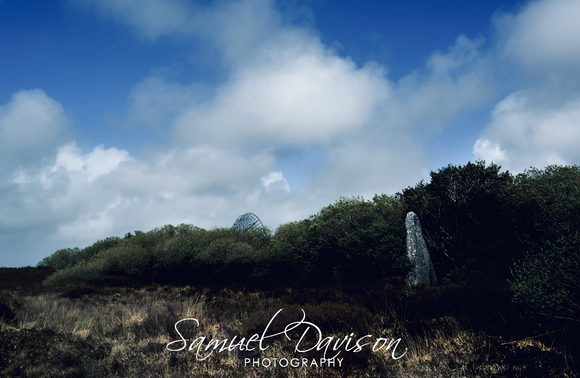
On the southern edge of Goonhilly Satellite Earth Station, and forming an interesting juxtaposition with the huge satellite dish close by, stands the mighty Drytree Menhir. One of the many interesting features about this massive bulk of a stone, and unique to all other menhirs in Cornwall, is that it is Gabbro; a type of stone formed deep in the earth by the slow cooling of magma; deep black in colour and very rich in magnesium and iron.
Although still very large indeed, The Drytree Menhir was originally even taller; Soldiers building a road in WW1 removed a section from the top of it to help with their construction.
In modern times, this area has been chosen specifically as an ideal place to build a space tracking centre. This is an interesting comparison with regard to the megalithic architects, and their rationale for selecting this very same location for the placement of this stone.
DIMENSIONS:
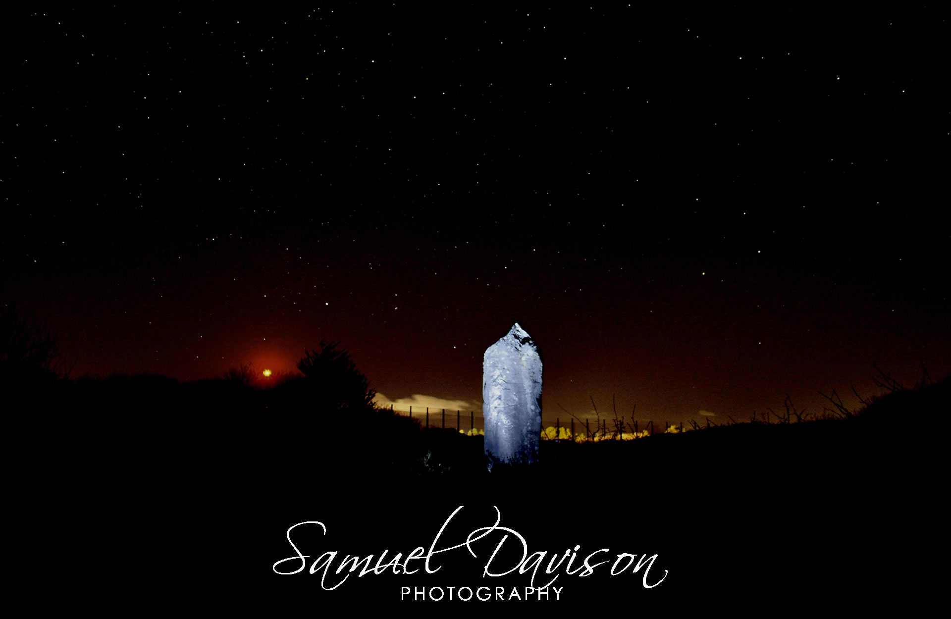
3.2m tall / weight unknown
Although still very large indeed, The Drytree Menhir was originally even taller; Soldiers building a road in WW1 removed a section from the top of it to help with their construction.
In modern times, this area has been chosen specifically as an ideal place to build a space tracking centre. This is an interesting comparison with regard to the megalithic architects, and their rationale for selecting this very same location for the placement of this stone.
DIMENSIONS:
3.2m tall / weight unknown